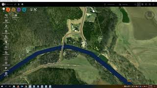
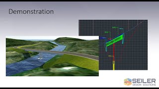
In this webinar, Seiler Design Solutions will explain a few common ways in which GIS data can be utilized in your engineering designs. We’ll show how various forms of GIS data can be imported and used to create or supplement existing site data as well as to create model data for use in your designs using both Autodesk Civil 3D and Map 3D.
Have any questions related to this video? Contact us and let us know.
If you are unable to view 3rd party video sources, like YouTube, please watch using this alternative source.

Leave A Comment