Seiler Design Solutions presents the fourth in a series of videos featuring the Autodesk Connector for ArcGIS Online and how the data can be used in Autodesk Products.
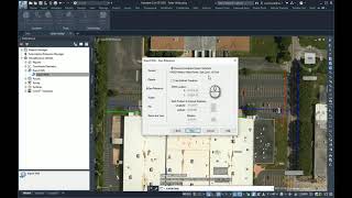
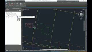
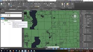
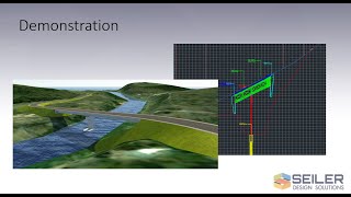
In this video, we will show you how you can connect to and upload data from Civil 3D to ArcGIS Online, copying standard Civil 3D object properties to the online GIS layers. This data can be used by GIS Professionals in their maps and analyses and can be accessed by other design professionals for future design work.
If you have any questions, please contact me at [email protected].
Please visit and subscribe to our blog at https://www.seiler-ds.com/blog for more tips, tricks, news and information on Autodesk AEC products


Leave A Comment