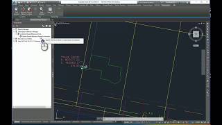
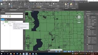
Every so often, we will get countour GIS data from a website or from a client dataset that we want to use for preliminary surface data in a Civil 3D design. In this video, we will use Map 3D tools from within Civil 3d and show you how to import 2D contour data from a Shapefile into a drawing, query the data to another drawing to elevate the imported polylines and finally create a Civil 3D surfrace from this data.
Please contact us with any further questions you may have related to this video.
Unable to view 3rd party video sources like YouTube? Please wath using this alternative source.


Leave A Comment