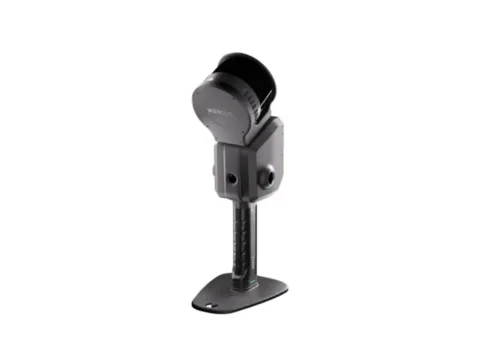
-
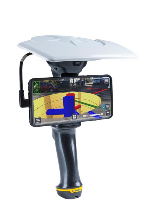 Trimble® SiteVision™ is a high accuracy augmented reality system that is ideal for use outdoors. It enables you to interact with your spatial data in the context of the real world. You can visualize and measure positions using GNSS, Electronic Distance Measurement, and Augmented Reality technology as you explore the project site.
 -
 Flexible geospatial framework for data management. The foundation of GeoSync GO is based on three essential activities: visualization, capture and management. Download the FREE VERSION
 -
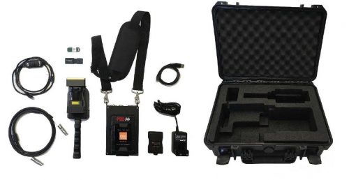
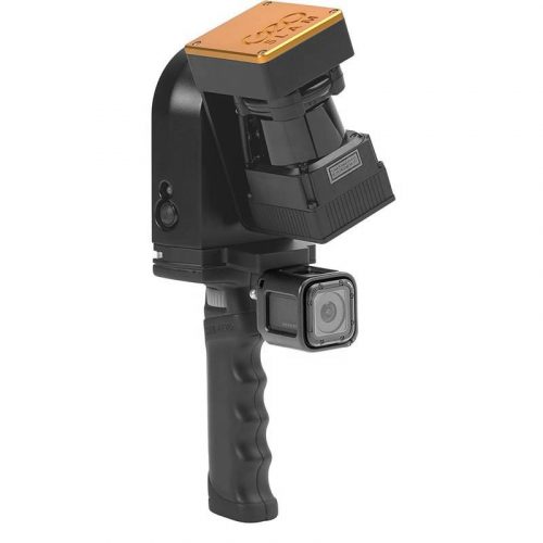 Includes:
- Demonstration Zeb-Revo Scanner and Processor
- Demonstration Zeb-Cam for Revo
- GeoSLAM Hub with Draw Start - Current Version
- Factory Inspection and Calibration
- Hardware Warranty to September, 30, 2021 (non-extendable)
- GeoSLAM Hub Software Maintenance to September, 30, 2021 (extendable)
- Training is a separate line item.
-
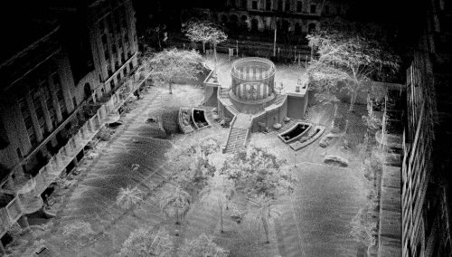
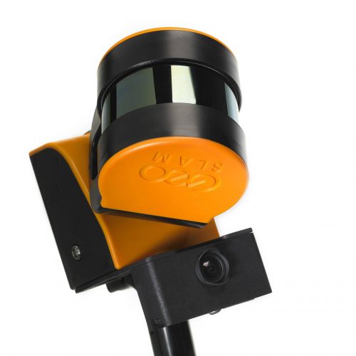 Includes:
- Demonstration Zeb-Horizon Scanner and Processor
- Demonstration Zeb-Cam for Horizon
- GeoSLAM Hub with Draw Start - Current Version
- Factory Inspection and Calibration
- Hardware Warranty to March 31st, 2022 (non-extendable)
- GeoSLAM Hub Software Maintenance to March 31st, 2022 (extendable)
- Training is not included and is a separate item.


